
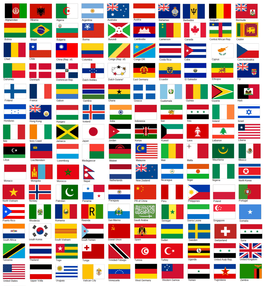
 Year 1 covers 49 Asian countries, divided into six groups:
- Northern Middle East;
- Southern Middle East;
- South Asia;
- Central Asia;
- East Asia; and
- Southeast Asia.
Click the cover at right to see a sample:
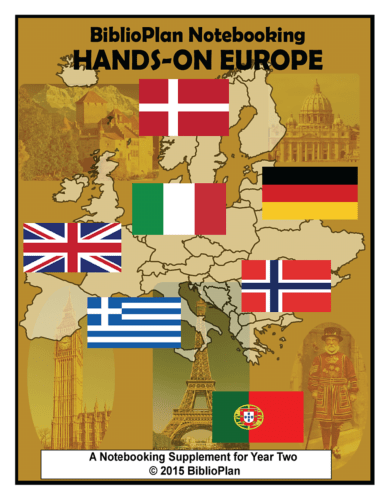 Year 2 covers 43 European countries, divided into six regions:
- the Balkans;
- Northern Europe and the Baltic States;
- Central Europe;
- Western Europe;
- Southern Europe; and
- Eastern Europe.
Click the cover at right to see a sample page:
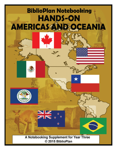 Year 3 covers 49 countries of the Americas and Oceania, divided into six groups:
- the West Indies;
- North America and Central America;
- South America Part I;
- South America Part II;
- Australasia and Melanesia; and
- Micronesia and Polynesia.
Click the cover at right to see a sample page:
 Year 4 covers 54 African countries, divided into five groups:
- North Africa;
- Southern Africa;
- Central Africa;
- East Africa; and
- West Africa.
Click the cover at right to see a sample page: